

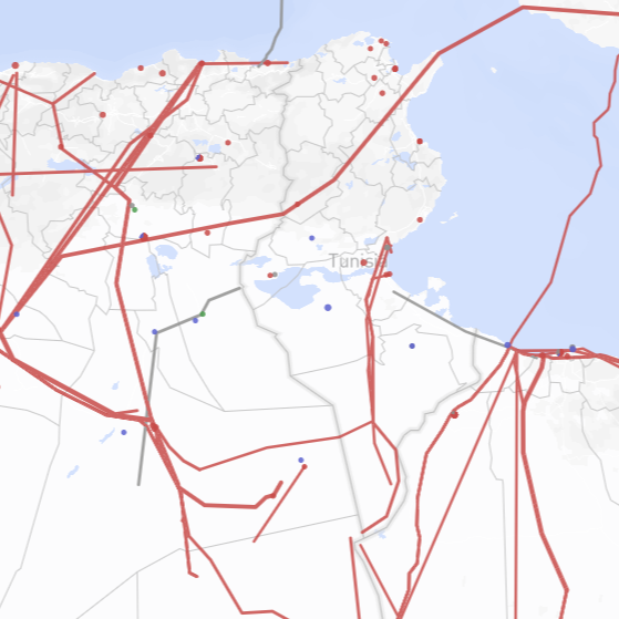
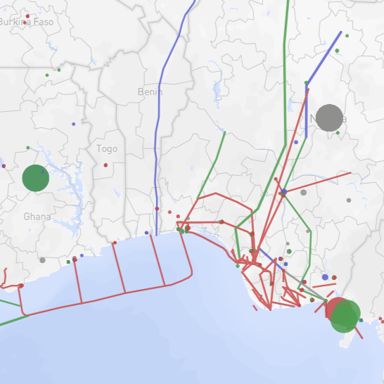
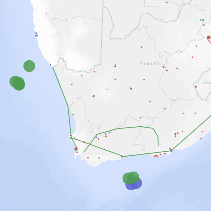
The Africa Energy Tracker provides a comprehensive dataset of energy infrastructure across Africa. The tracker covers oil and gas, coal, renewables, and other power infrastructure, specifically for power generation (solar, wind, geothermal, hydropower, bioenergy, oil and gas-fired, coal-fired, and nuclear-fired power plants), extraction (coal mines and oil and gas extraction sites), and the movement of fuels (LNG terminals, coal terminals, and oil and gas pipelines). Each project has a dedicated wiki page on GEM.wiki that provides extensive detail on the project, such as the project’s status, capacity, and ownership.
The interactive map format allows users to geographically visualize various configurations of pipeline routes and infrastructure locations. The data for this tracker are drawn from data from GEM’s various global energy-related trackers, and the map and underlying data are updated on a monthly basis to reflect updates to GEM’s global trackers as they occur.
To learn about the various components of each GEM tracker, read About GEM’s Trackers. To receive notifications about this project, please sign up for our mailing list. If you have questions about this project, please contact the Oil and Gas Program Director, Julie Joly.
- 6043
- power generation units
- 806
- extraction projects
- 419
- fuel movement infrastructure projects
Summary Tables
- Coal Plants by Country/Area (Units)
- Ownership of Oil and Gas Plants in Africa (MW)
- Solar Farm Prospective Capacity by Country/Area and Year (MW)
- Oil Pipeline Length by Region (km)
- LNG Import Projects by Country/Area
- Gas Production by Region
Featured Report

The scramble for Africa’s gas
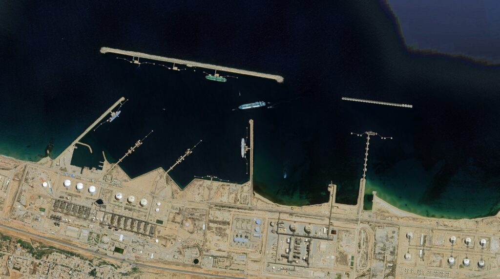
Map Data: Google, Image ©2022 Maxar Technologies